
Geophysical Surveys for
Oil & Gas Exploration
~Offering High Quality Geophysical Data~
For exploring petroleum and natural gas, JGI provides 2D and 3D reflection
seismic surveys on land, offshore and in shallow water areas, covering
areas with difficult field conditions. On land and in shallow water, GDAPS-4A
telemetry recording system is used.
In rough terrain area is on land, wireless stand-alone recording system
MS-2000D is often used combined with GDAPS-4A. In transition zones, accurate
2D and 3D seismic and positioning data are acquired using an integrated
system developed by JGI.
Movies here! You can see how we acquire seismic data in different enviroments
|
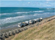
Vibrators |
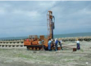
Drilling machine |
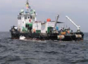
Shallow water boat |

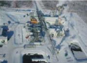
Oil sand production plant in Canada
~Next Generation Energy Resources~
Since late 1970's JGI has been carrying out research surveys for mapping
the distribution of methane hydrate along the Pacific coast of Japan.
JGI has also provides consulting services for detailed seismic surveys
including precise geological analyses in the oil sand development project.
Copyright (c)JGI, Inc. All Rights Reserved.


